09 July, 2019
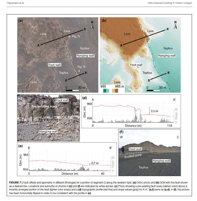
Daniele Trippanera et al. have a paper out with the title "Structural mapping of dike-induced faulting in Harrat-Lunayyir (Saudi Arabia) by using high resoltuion drone imagery". In the study, Daniele uses high-resolution drone mapping to bridge the gap between structural analysis using satellite images and detailed mapping in the field, and makes systematic comparisons between different techniques. The study is published in Frontiers in Earth Sciences and his co-authors are Joel Ruch, Luca Passone and Sigurjón Jónsson
