Crustal Deformation and InSAR Group

We use satellite radar interferometric (InSAR) imaging of the Earth’s surface to measure ground deformation due to a variety of geophysical processes.

Overview

Welcome to our website!
We are a research group in geophysics at King Abdullah University of Science and Technology (KAUST) that focuses on the use of satellite radar interferometric (InSAR) imaging of the Earth’s surface to measure ground deformation due to a variety of geophysical processes. We are interested in everything that moves the ground, e.g. earthquakes, magma accumulation under volcanoes, and pressure changes in reservoirs.


thumbnail_image1


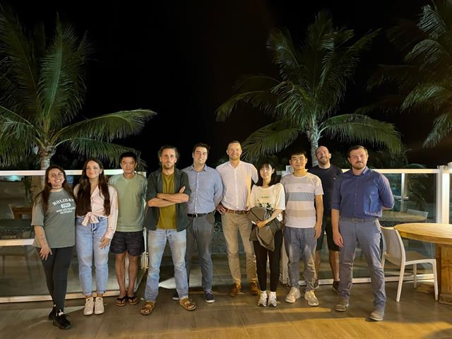
The CDI group in November 2022: Aleajandra Perea Barreto, Margherita Fittipaldi, Shaozhuo Liu, Adrien Muolin, Matthieu Ribot, Sigurjón Jónsson, Xing Li, Jihong Liu, Rémi Matrau and Adriano Nobile. 

Latest News

13 November, 2023

CDI at ICMERS-3 Conference

The CDI group participates in the ICMERS-3 conference with several contributions to the "Sub-seafloor structure, earthquakes, and geohazards" session.

Read more

09 November, 2023

Ph.D. Thesis Defense - Rémi Matrau

Congratulations to CDI's Ph.D. candidate Rémi Matrau, who successfully defended his thesis in which he analyzed the Holocene deformation of the Húsavík-Flatey Transform Fault in the Tjörnes Fracture Zone in North Iceland using paleoseismological and morphotectonics studies

.

Read more

05 October, 2023

Ph.D. Thesis Defense - Xing Li

Congratulations to CDI's Ph.D. candidate, Xing Li, who successfully defended her thesis in which she analyzed the ground deformation associated with the Dead Sea Transform Fault using InSAR data.

Read more